
Acequias of Albuquerque December 26, 2020
This online exhibition is produced on Esri’s Story Map Cascade platform by the University of New Mexico Department of Community and Regional Planning at the School of Architecture + Planning.
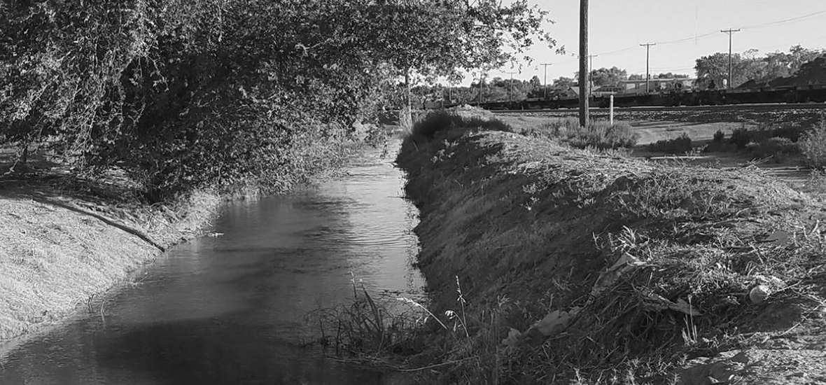
“This story map explores the history of erasure of the acequia system in Albuquerque, its continuing legacy, and possible ways in which these important agricultural assets can be better incorporated into the modern functions of the city.”
Link: https://www.arcgis.com/apps/Cascade/index.html?appid=ad0a57bf59ed45558c29354b196fcce8
This system of irrigation evolved over 10,000 years in the arid regions of the Middle East and became transplanted in the Americas during the Spanish colonization period when the system overlayed onto indigenous water harvesting strategies including floodwater farming and the use of irrigation ditches.